香園圍公路網站

In Service Now

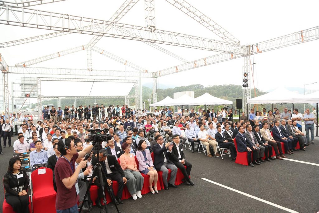
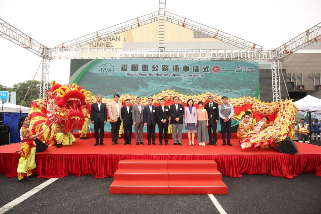
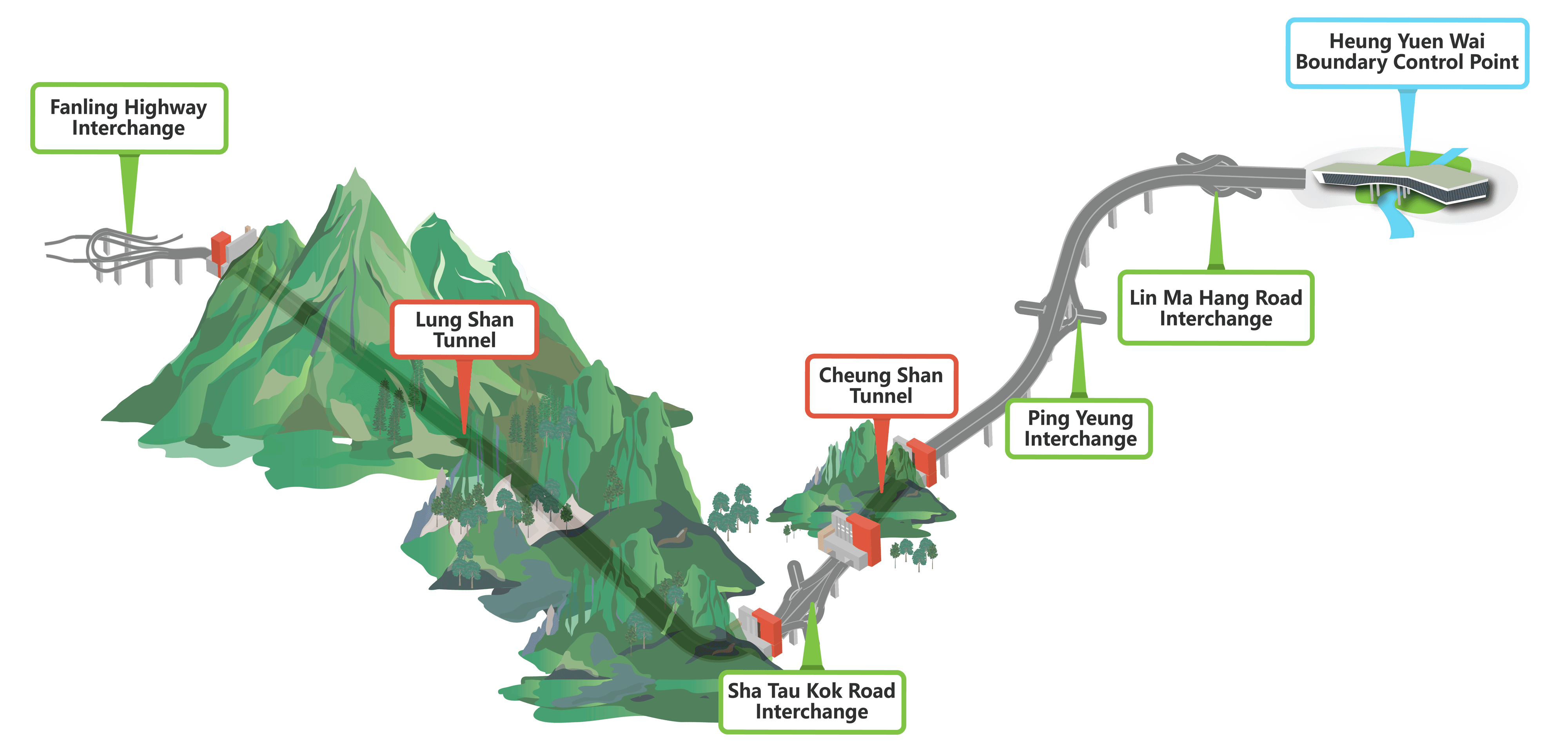
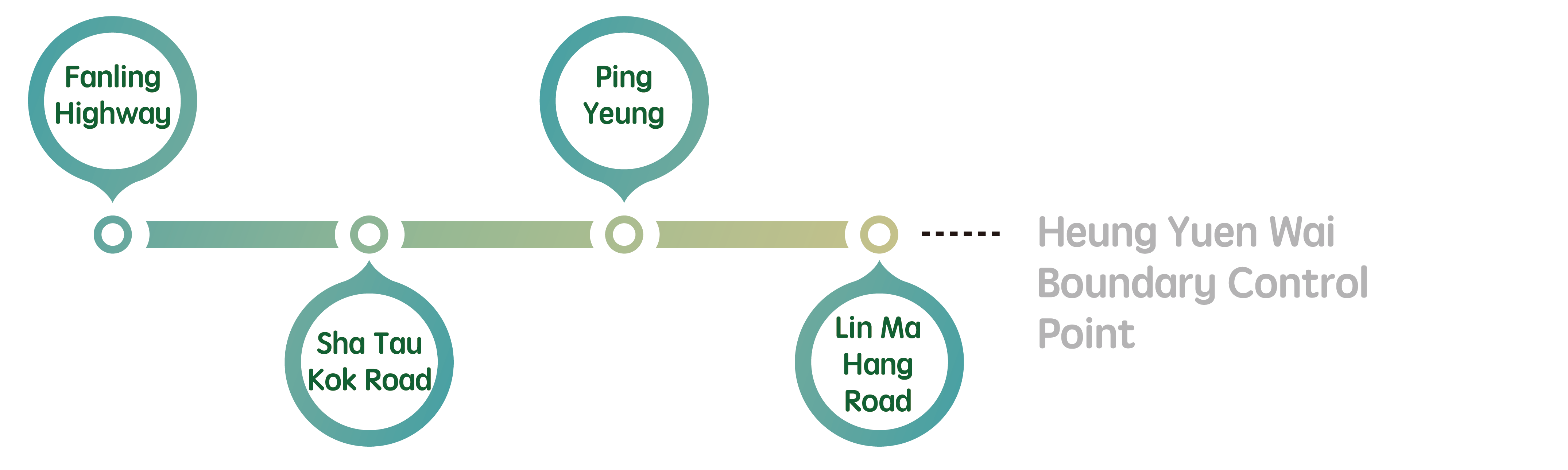
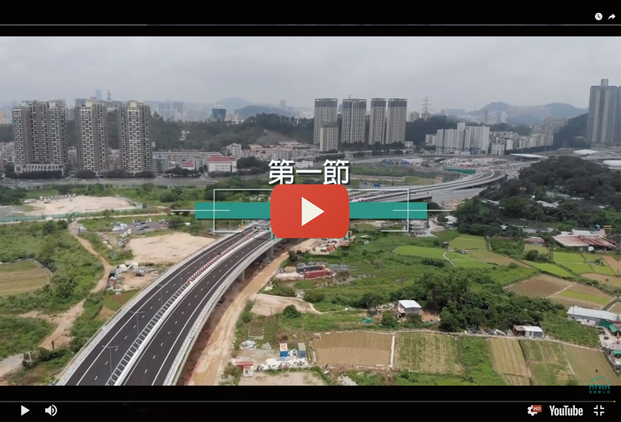
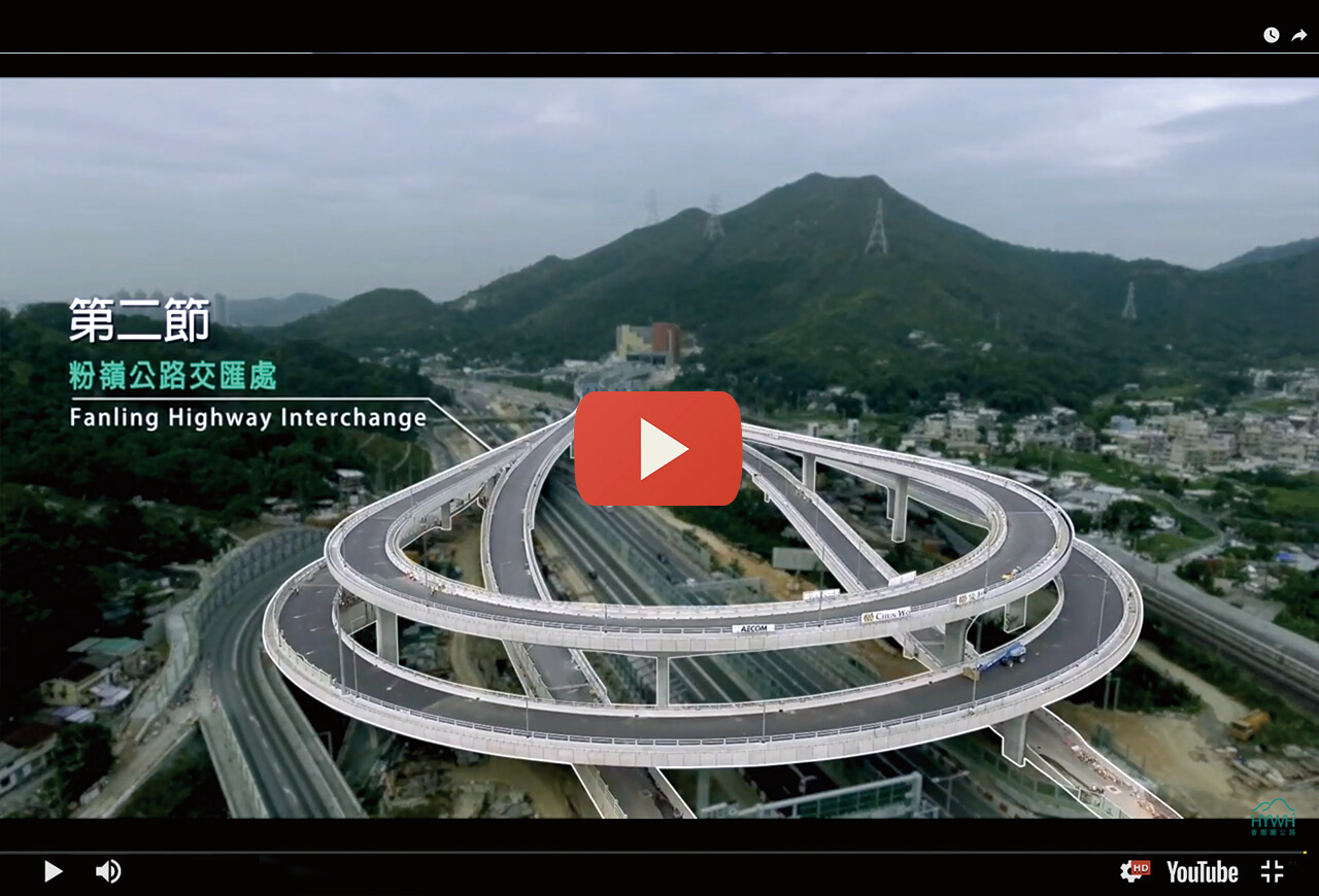
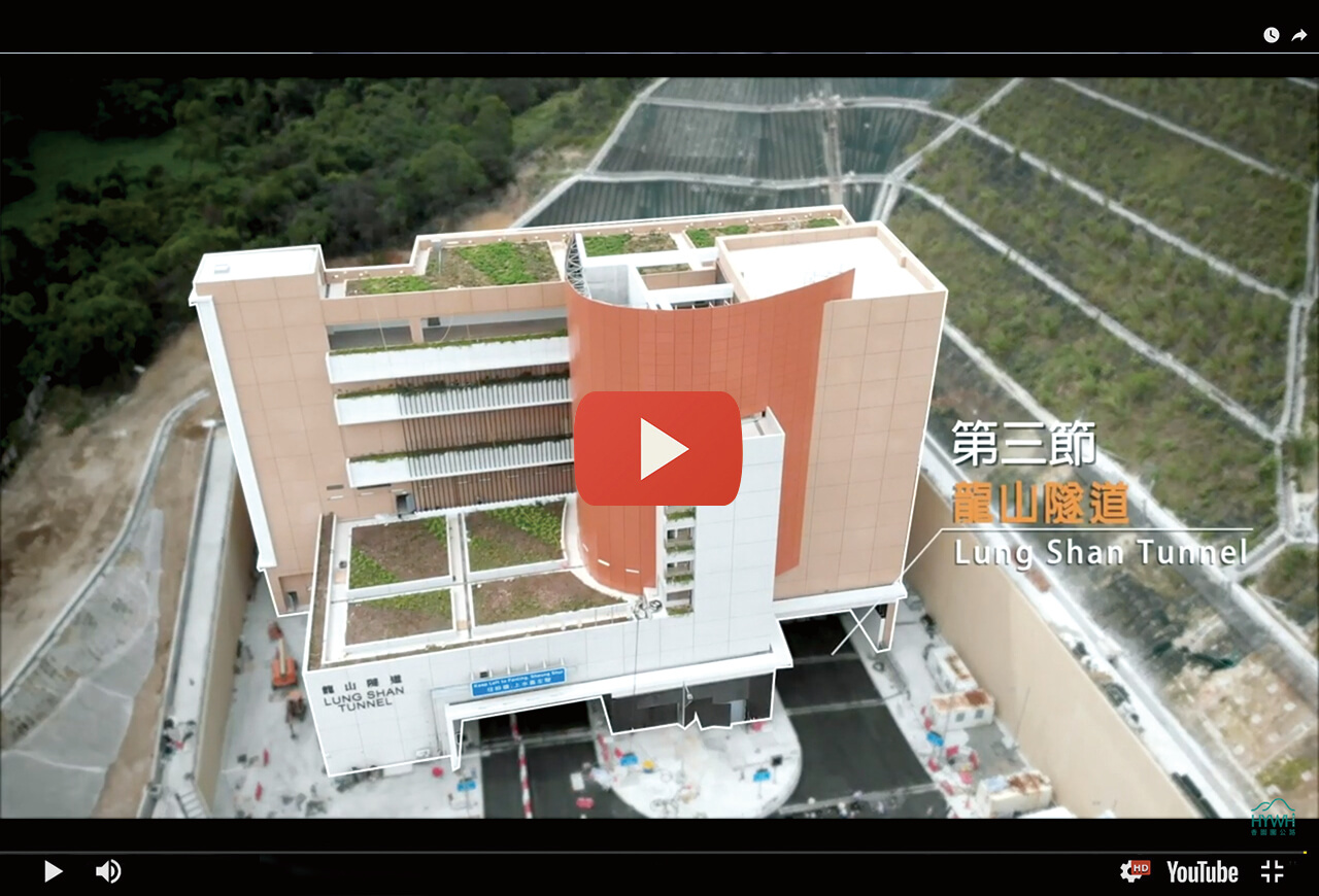
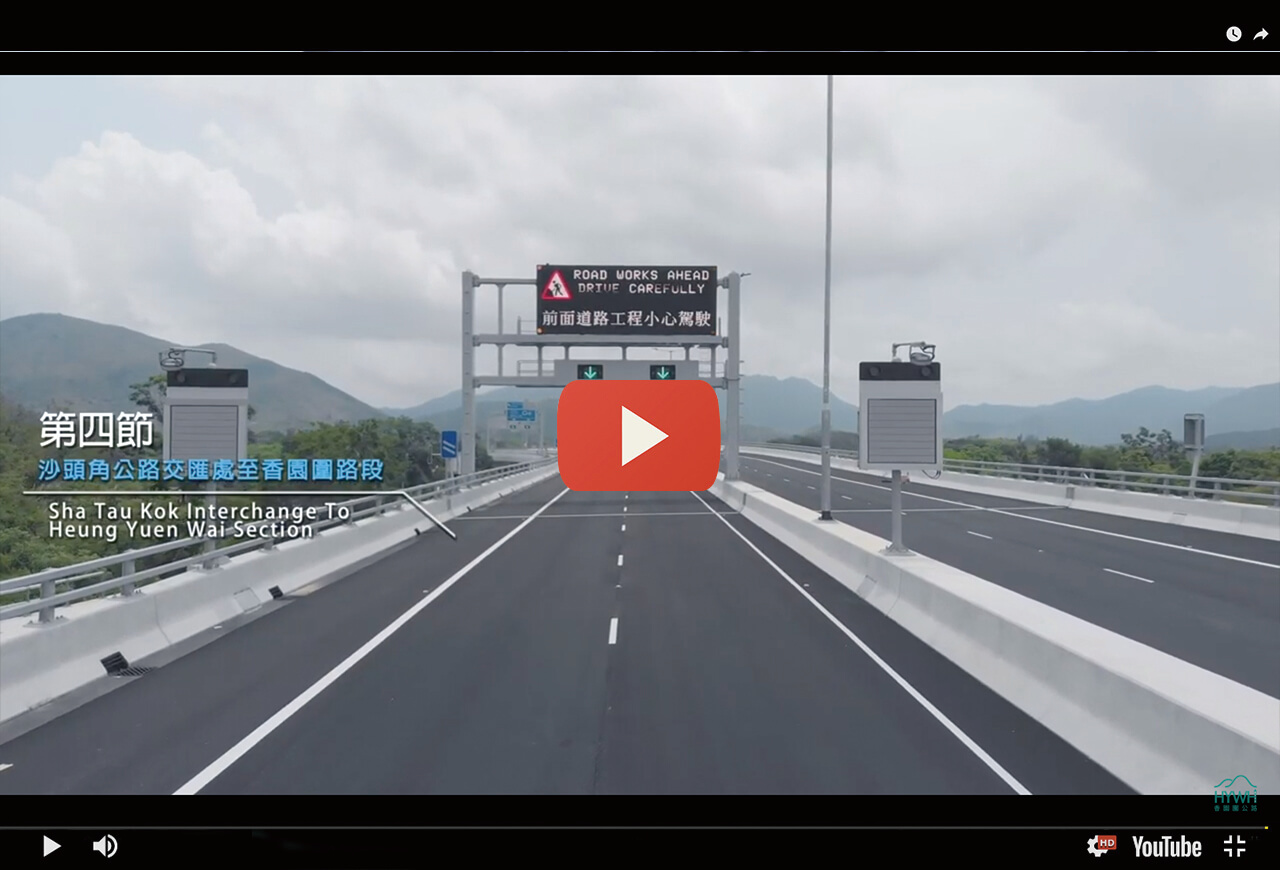
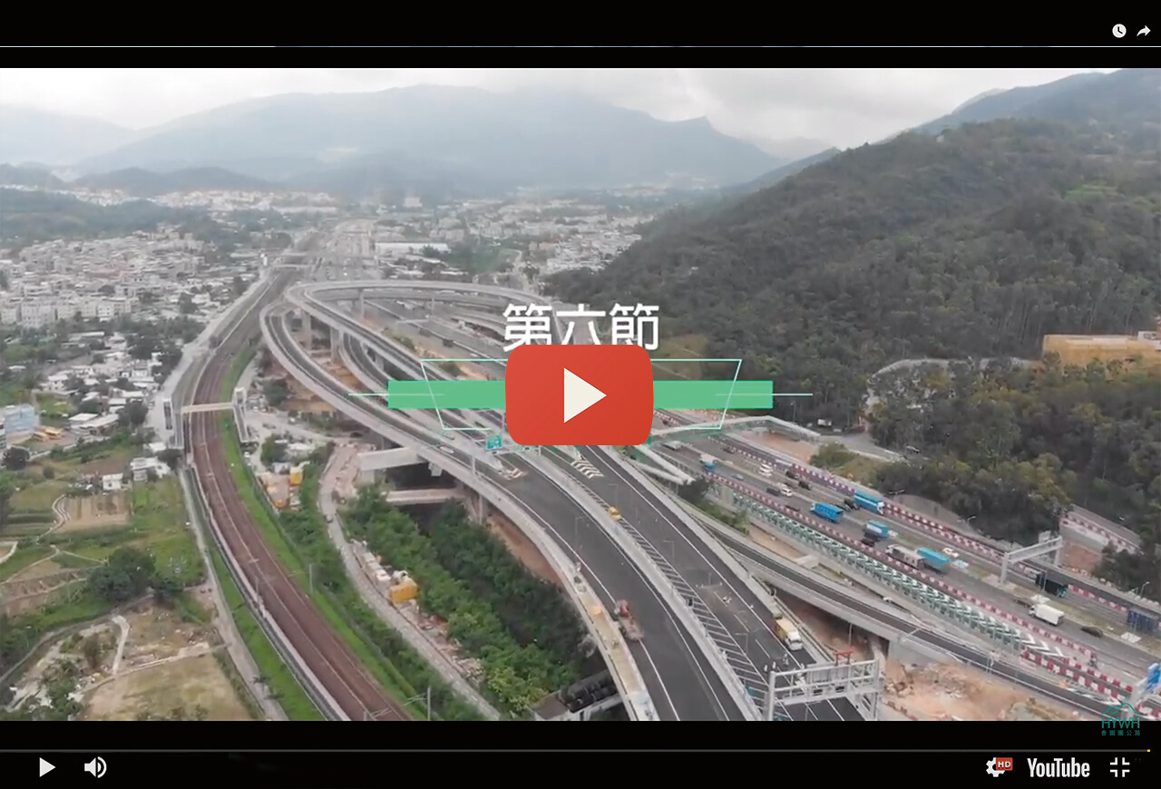
Heung Yuen Wai Highway (HYWH)is an approximately 11-km dual two-lane carriageway connecting the Fanling Highway and the Heung Yuen Wai Boundary Control Point. HYWH comprises approximately 4.8-km Lung Shan Tunnel, 0.7-km Cheung Shan Tunnel, 4.5-km viaduct and 1-km at-grade roads. There will also be four interchanges along HYWH, facilitating the residents living near Sha Tau Kok, Ta Kwu Ling and Ping Che to access Fanling, Sheung Shui, Tai Po and Kowloon.

Project Video
Promotional Leaflet

香園圍公路網站

In Service Now

Heung Yuen Wai Highway (HYWH)

is an approximately 11-km dual two-lane carriageway connecting the Fanling Highway and the Heung Yuen Wai Boundary Control Point . HYWH comprises approximately 4.8-km Lung Shan Tunnel, 0.7-km Cheung Shan Tunnel, 4.5-km viaduct and 1-km at-grade roads. There will also be four interchanges along HYWH, facilitating the residents living near Sha Tau Kok, Ta Kwu Ling and Ping Che to access Fanling, Sheung Shui, Tai Po and Kowloon.

Opening Ceremony

Improvement of North District and Eastern Cross-boundary Traffic

HYWH connects Fanling Highway and the Heung Yuen Wai Boundary Control Point with the four interchanges, which will help improve the traffic in North District, particularly for the areas near Sha Tau Kok Road. After the commissioning of Heung Yuen Wai Boundary Control Point, HWHY will help re-distribute the cross-boundary traffic via Man Kam To and Sha Tau Kok Boundary Control Points, hence improving the overall operation efficiency, the capacity and the quality of services of the eastern land-based boundary control points as a whole.

Improvement of North District and Eastern Cross-boundary Traffic

HYWH connects Fanling Highway and the Heung Yuen Wai Boundary Control Point  with the four interchanges, which will help improve the traffic in North District, particularly for the areas near Sha Tau Kok Road. After the commissioning of Heung Yuen Wai Boundary Control Point, HWHY will help re-distribute the cross-boundary traffic via Man Kam To and Sha Tau Kok Boundary Control Points, hence improving the overall operation efficiency, the capacity and the quality of services of the eastern land-based boundary control points as a whole.

Journey time reduced

HYWH will provide the residents living near Sha Tau Kok, Ta Kwu Ling and Ping Che a convenient route direct to Fanling Highway, facilitating their access to the Sheung Shui, Tai Po, Kowloon districts, etc. By using the previous route, the journey time from Fanling Kau Lung Hang to the Ping Che area and Heung Yuen Wai, Ta Kwu Ling takes approximately 15 and 24 minutes respectively. By using HYWH in the future, the respective journey time will be significantly reduced to approximately 4 and 8 minutes only.

減少碳排放

減省總行車時間,有助每年減少約11000噸二氧化碳排放,相當於約48萬棵新種樹木的吸收量(可覆蓋約67個維園的面積)。

減少碳排放

減省總行車時間,有助每年減少約11000噸二氧化碳排放,相當於約48萬棵新種樹木的吸收量(可覆蓋約67個維園的面積)。

The longest land-based road tunnel in Hong Kong

Lung Shan Tunnel of approximately 4.8-km in length is the longest land-based road tunnel in Hong Kong, connecting the Fanling Highway Interchange and the Sha Tau Kok Road Interchange. It is longer than Tates’ Cairn Tunnel by approximately 0.85km.


The longest land-based road tunnel in Hong Kong

Lung Shan Tunnel of approximately 4.8-km in length is the longest land-based road tunnel in Hong Kong, connecting the Fanling Highway Interchange and the Sha Tau Kok Road Interchange. It is longer than Tates’ Cairn Tunnel by approximately 0.85km.

Promoting the connection with the traffic network in the Greater Bay Area


HYWH will link up with the Heung Yuen Wai Boundary Control Point (BCP) at its north end. This new BCP is one of the major co-operation items of the Guangdong, Hong Kong and Macau in the chapter dedicated to Hong Kong and Macau in the National “Outline of the 12th Five-Year Plan”. The BCP is also one of the key infrastructure of the Guangdong-Hong Kong-Macau Greater Bay Area to enhance cross-boundary traffic connection, facilitating a greater room for development in Hong Kong under the “one-hour living circle” in the Area, promoting economic development and regional cooperation and enhancing the connections of two areas. By facilitating smoother and more effective cross-boundary flow of people and goods, the new BCP will play a strategic role in the long-term economic development of Hong Kong.


Project Video

Heung Yuen Wai Highway Promotional Leaflet

Download here